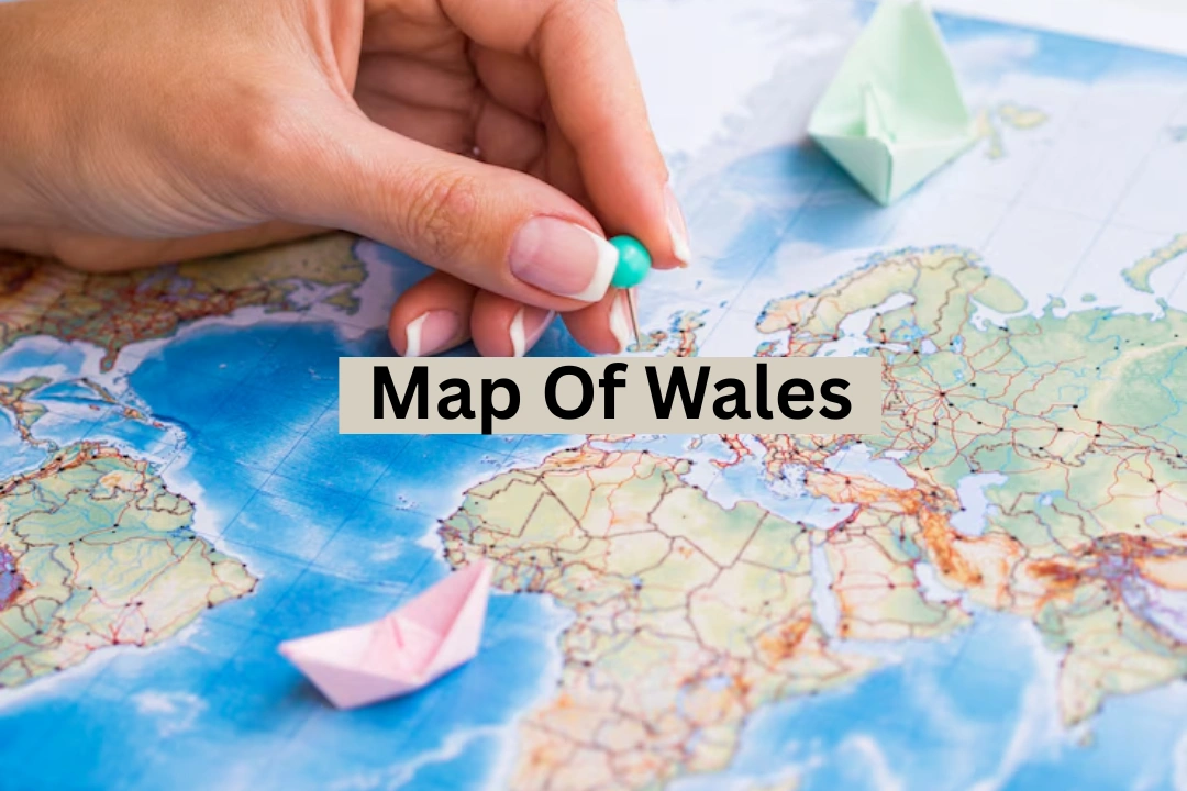
Exploring the Map of Wales: A Journey Through Its Regions and Landscapes
Wales is a country in the United Kingdom, known for its mountains, coastlines, and rich culture. The map of Wales shows its diverse geography and regions. From the tall peaks of Snowdonia to the calm beaches of Pembrokeshire, the map helps us understand what makes Wales special.
Where Is Wales Located?
Wales is on the western side of Great Britain. It borders England to the east and is surrounded by the Irish Sea to the north and west, and the Bristol Channel to the south. The country is about 170 miles long from north to south and at least 60 miles wide. It covers an area of 20,779 square kilometers, making up about 8.35% of the UK’s land.
Physical Features on the Map of Wales
The map of Wales shows many natural features. In the north, you’ll find Snowdonia National Park, home to Snowdon, the highest mountain in Wales at 1,085 meters. Mid Wales has the Cambrian Mountains, while the south features the Brecon Beacons. The coastline stretches over 1,300 kilometers, with cliffs, beaches, and bays.
Importance of the Map
The map of Wales is a valuable tool for learning about the country’s geography, planning travel, and understanding its regions. Whether you’re interested in mountains, coastlines, or cities, the map provides a clear picture of what Wales has to offer.
| Feature | Description |
|---|---|
| Highest Mountain | Snowdon (1,085 meters) |
| Major Cities | Cardiff, Swansea, Newport |
| National Parks | Snowdonia, Brecon Beacons, Pembrokeshire Coast |
| Coastline Length | Over 1,300 kilometers |
| Principal Areas | 22, including counties and cities |
Understanding the map helps us appreciate the country’s natural beauty and cultural richness. Whether you’re exploring its mountains or relaxing on its beaches, Wales offers something for everyone.
Administrative Divisions
Wales is divided into 22 principal areas, including counties and cities. Some of the main cities are Cardiff (the capital), Swansea, and Newport. These divisions help in local governance and are important for understanding the country’s structure.
Regions of Wales
Wales is often divided into regions based on geography and culture. These include North Wales, Mid Wales, South West Wales, and South East Wales. Each region has its own unique features and attractions.
National Parks You Can Find on the Map of Wales
Wales is home to three national parks, each marked clearly on any detailed map. Snowdonia National Park in the north is famous for rugged peaks and lakes. In the south, Brecon Beacons offers rolling hills and waterfalls. Along the west coast, Pembrokeshire Coast National Park boasts stunning sea cliffs and beaches. These parks protect nature and attract millions of visitors every year.
Rivers and Lakes of Wales
The rivers and lakes of Wales shape the land and support wildlife and people alike. The River Severn, Britain’s longest river, starts in Wales. The River Wye and River Dee are also major waterways. You’ll find lakes like Llyn Tegid (Bala Lake), the largest in Wales, and Llyn Celyn. These water bodies are easy to spot on a map, especially in hilly or mountainous regions.
Road and Rail Networks in Wales
Wales is connected by a network of roads and rail lines that make traveling across the country easy. The M4 motorway runs from London through South Wales, ending in Carmarthenshire. Main rail lines connect Cardiff with Swansea and North Wales with England. If you look at a transport-focused map, you’ll see how routes link cities, towns, and rural areas effectively.
Weather Patterns Across Wales
Wales has a mild, wet climate, especially in the west and the mountains. The eastern areas are drier. The weather varies by region, which you can often predict based on elevation and coastal proximity. Maps that include weather data can show rainfall distribution or snow zones, helping travelers and farmers plan better. Knowing the weather is key when exploring the countryside or hiking trails.
Historical and Cultural Landmarks
The map is dotted with castles, ancient monuments, and cultural sites. There are more than 600 castles in Wales, earning it the nickname “the Land of Castles.” Cardiff Castle, Caernarfon Castle, and Conwy Castle are major tourist attractions. Cultural landmarks like St. David’s Cathedral and the National Eisteddfod sites also appear on most heritage maps.
Digital and Interactive Maps
Modern technology has improved how we explore maps. Now, you can use digital maps of Wales for hiking, cycling, or driving. Google Maps and Ordnance Survey apps show trails, elevations, and even local attractions. These interactive tools are helpful for planning trips or studying geography in classrooms. Many schools now use these tools instead of paper atlases.
Conclusion
Understanding the map is more than just learning geography it’s about discovering the heart of a beautiful country. From mountain peaks to peaceful coastlines, every part of Wales tells a story. Whether you’re a traveler, student, or curious explorer, using a map helps you connect with the land, history, and culture of Wales. With its rich landscapes and well-marked regions, Wales truly is a place worth exploring both on paper and in person.
FAQ
What does the map of Wales show?
It shows the country’s cities, mountains, rivers, coastlines, and historical landmarks.
Why is the map of Wales important?
It helps travelers, students, and locals explore and understand Wales’s geography and culture.