The Middle Earth Map: A Journey Through Tolkien’s Imagination
The world of Middle Earth has captivated the imaginations of readers for decades. Whether you’re a fan of J.R.R. Tolkien’s novels or you’ve seen the film adaptations, you’ve likely encountered the Middle Earth Map. This detailed map is not just a tool for storytelling but a gateway to understanding the vast, mythical world where hobbits, elves, dwarves, and humans coexist.
In this article, we’ll explore the Middle Earth map, how it shaped the world of The Lord of the Rings, and why it continues to fascinate fans worldwide. By diving deep into the various locations and features, you’ll get a clearer picture of this fictional universe.
What is the Middle Earth Map?
The Middle Earth map is a detailed illustration of the world where the events of The Lord of the Rings, The Hobbit, and The Silmarillion take place. This map is a vital part of Tolkien’s stories, helping readers navigate through the regions where key characters go on adventures. The map features diverse landscapes such as forests, mountains, rivers, and towns, all of which play significant roles in the narratives.
The Importance of the Middle Earth Map in Storytelling
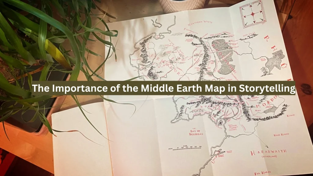
A map does more than just show locations; it shapes the journey of the characters. The Middle Earth map serves as a visual representation of the characters’ physical and emotional journeys. As characters like Frodo Baggins, Aragorn, and Gandalf travel across Middle Earth, the map helps readers follow their path and understand the significance of different locations.
Key Regions and Their Significance
Middle-earth is divided into various regions, each with its unique characteristics and importance in the stories.
| Region | Significance |
|---|---|
| The Shire | Homeland of the Hobbits; starting point of many journeys |
| Rivendell | Elven refuge; place of counsel and rest |
| Mordor | Realm of Sauron; location of Mount Doom |
| Rohan | Land of the Horse-lords; known for its cavalry |
| Gondor | Major human kingdom; key player in the War of the Ring |
Understanding these regions helps readers and viewers grasp the scale and stakes of the characters’ adventures.
Key Locations on the Middle Earth Map
There are several key locations on the Middle Earth map that are central to the plot of Tolkien’s stories. These places are more than just dots on the map; they are rich in history and lore. Let’s explore some of the most important locations that define Middle Earth.
The Shire
The Shire is a peaceful, rural area inhabited by hobbits, and it’s where the story of The Lord of the Rings begins. Located in the northwest of Middle Earth, the Shire represents simplicity and tranquility. It is a place of green fields, rolling hills, and cozy hobbit holes. The Shire’s location on the map is far from the dangers of Mordor, which makes it an ideal starting point for the protagonist, Frodo Baggins.
Rivendell
Located to the east of the Shire, Rivendell is the home of the Elves and a key location in the Middle Earth map. It’s a beautiful and mystical valley, where the Fellowship of the Ring first comes together. Rivendell is known for its serene beauty, wisdom, and strong connection to the history of Middle Earth. It plays a crucial role in the plot, offering counsel to the characters and serving as a place of refuge.
Mordor
Mordor is the dark, ominous land ruled by the Dark Lord Sauron. It’s located in the southeast of Middle Earth, and it’s surrounded by jagged mountains and hostile terrain. Mordor represents the ultimate evil in Tolkien’s world and is the final destination in the journey of the One Ring. On the Middle Earth map, you’ll find Mount Doom, where the One Ring must be destroyed. The map makes it clear that Mordor is a place of extreme danger and evil, contrasting sharply with the more peaceful regions of Middle Earth.
The Lonely Mountain
In The Hobbit, the Lonely Mountain is a key location that features prominently in the story. Located in the northeastern part of the map, this mountain is the home of the dwarves and the site of a vast treasure hoard guarded by the dragon Smaug. The Middle Earth map shows this location as a pivotal area of both adventure and danger. Bilbo Baggins’ journey to the Lonely Mountain is one of the highlights of The Hobbit, and it’s a place filled with both beauty and peril.
How the Middle Earth Map Reflects Tolkien’s World-Building
Tolkien’s Middle Earth map isn’t just a tool for navigation; it’s a vital element of his world-building. Through the map, Tolkien created a universe that feels as real as our own. The geography of Middle Earth is vast and varied, ranging from lush forests to harsh deserts, from snowy mountains to temperate plains. This variety in the landscape makes the world of Middle Earth rich and diverse, just like the cultures and peoples who inhabit it.
Conclusion
The Middle Earth map is much more than a guide to the locations in J.R.R. Tolkien’s stories. It’s a visual representation of a complex, richly detailed world. From the peaceful hills of the Shire to the ominous, fiery lands of Mordor, the map shows the vast diversity and depth of Middle Earth. It’s not only an essential tool for navigating the stories but also a symbol of the world Tolkien created.